NASA-ISRO Satellite Reveals Alarming Subsidence in Mexico City
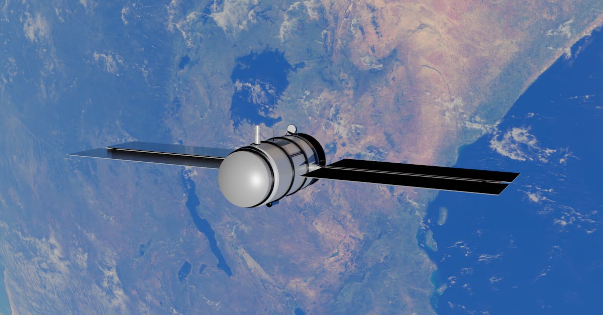
- NASA-ISRO satellite mission reveals Mexico City sinking by up to 30 cm annually in some areas.
- The mapping uses advanced synthetic aperture radar to detect minute ground changes.
- Subsidence is caused by groundwater extraction and clay soil compaction.
- Findings raise concerns about infrastructure damage and flood risks.
A joint space mission between the United States and India has produced the most detailed map yet of Mexico City's alarming land subsidence. The data, released by NASA on Wednesday, shows parts of the metropolis are sinking by as much as 30 centimetres every year.
Satellite Eyes on a Sinking City
The mapping was done using the NASA-ISRO Synthetic Aperture Radar (NISAR) mission, a collaborative satellite project between the American and Indian space agencies. NISAR's advanced radar can detect ground movement down to millimetres, making it an ideal tool for monitoring subsidence.
Mexico City, built on the drained bed of Lake Texcoco, has long been known to sink. But the NISAR data offers unprecedented resolution, revealing that the city is not sinking uniformly. Some central and eastern neighborhoods are dropping at rates exceeding 30 cm per year, while other areas are relatively stable.
Groundwater Extraction is the Culprit
The primary driver of this rapid subsidence is the relentless pumping of groundwater. The city's clay-rich soil compacts as water is removed, causing the ground to sink. This process is irreversible, and the damage is cumulative.
Scientists have warned that if groundwater extraction continues unchecked, the city could see structural damage to buildings, roads, and water pipelines. The sinking also exacerbates flood risks, as the land drops below the level of nearby drainage systems.
"This is a slow-motion disaster," said a NASA geophysicist involved in the study. "The NISAR data gives us a clear picture of where the problem is worst, which is the first step toward managing it."
Implications for Urban Planning
The findings are likely to put pressure on Mexico City authorities to regulate water extraction more strictly. The city has already invested in importing water from outside the basin, but demand continues to grow.
Engineers and city planners are now using the NISAR maps to identify the most vulnerable zones. Retrofitting buildings, replacing old water pipes, and redesigning drainage systems are among the costly measures being considered. The data also helps in monitoring the effectiveness of any mitigation steps taken.
The NISAR mission is designed to observe Earth's surface for a range of environmental changes, from ice melt to earthquakes. Its ability to map subsidence with such precision marks a significant step in applying space technology to urban challenges.
Officials have not yet confirmed any specific policy changes following the release of this data. But the map leaves little room for doubt: Mexico City is sinking faster than previously understood, and the clock is ticking for action.
What happens next depends on whether the city can curb its groundwater use and invest in sustainable water sources. The NISAR mission will continue to monitor the subsidence, providing crucial updates in the months and years ahead.