NISAR: NASA-ISRO Satellite to Map Earth's Surface in Unprecedented Detail
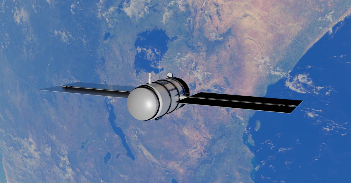
- NISAR stands for NASA-ISRO Synthetic Aperture Radar.
- The satellite is designed to observe Earth's land and ice-covered surfaces.
- It will use two radar frequencies—L-band and S-band—for detailed mapping.
- The mission is expected to launch in 2024 from India's Satish Dhawan Space Centre.
- NISAR will provide data on ecosystems, natural hazards, and climate change.
What is NISAR?
NISAR stands for NASA-ISRO Synthetic Aperture Radar. It is a joint Earth-observation mission between the US space agency NASA and the Indian Space Research Organisation (ISRO). The satellite is designed to observe and map the planet's land and ice-covered surfaces with extraordinary clarity.
The mission represents one of the most ambitious collaborations in space-based Earth science. Engineers from both agencies have worked to combine their expertise in radar technology and satellite systems.
Mission Objectives and Capabilities
NISAR will carry two radar instruments. One operates in the L-band frequency, provided by NASA. The other uses the S-band frequency, built by ISRO. Together, they allow the satellite to see through clouds and darkness, capturing images day and night.
The satellite's resolution is fine enough to detect changes in the Earth's surface as small as a few centimetres. This makes it a powerful tool for studying earthquakes, landslides, volcanic activity, and the health of forests and agricultural land.
Data for Climate and Hazard Monitoring
Scientists plan to use NISAR data to track the melting of glaciers and ice sheets. It will also monitor changes in wetlands and coastal regions. The mission aims to provide a clearer picture of how carbon and other elements move through ecosystems.
For disaster management, the satellite's frequent revisits over the same areas will help authorities respond to floods, cyclones, and other natural hazards more effectively. The data will be made publicly available.
Launch and Technical Details
The NISAR satellite is expected to launch in 2024 from the Satish Dhawan Space Centre in Sriharikota, Andhra Pradesh. ISRO will provide the launch vehicle, likely a Geosynchronous Satellite Launch Vehicle (GSLV).
The satellite's orbit is a near-polar, sun-synchronous one at an altitude of about 747 kilometres. It will map the entire Earth's land and ice surfaces every 12 days. The mission is planned to last at least three years, with fuel for up to five.
The full form of NISAR—NASA-ISRO Synthetic Aperture Radar—captures the core technology. Synthetic aperture radar combines multiple radar images to produce high-resolution pictures, effectively creating a much larger 'virtual' antenna.
What Comes Next
Before launch, the satellite must undergo final assembly and rigorous testing. Both agencies are working to integrate the radar systems and ensure the spacecraft can withstand the stresses of launch and space. Once operational, NISAR will begin streaming what scientists expect to be an unprecedented volume of data about a changing Earth.