NASA-ISRO Radar Mission Maps Mississippi Delta With Cloud-Piercing Precision
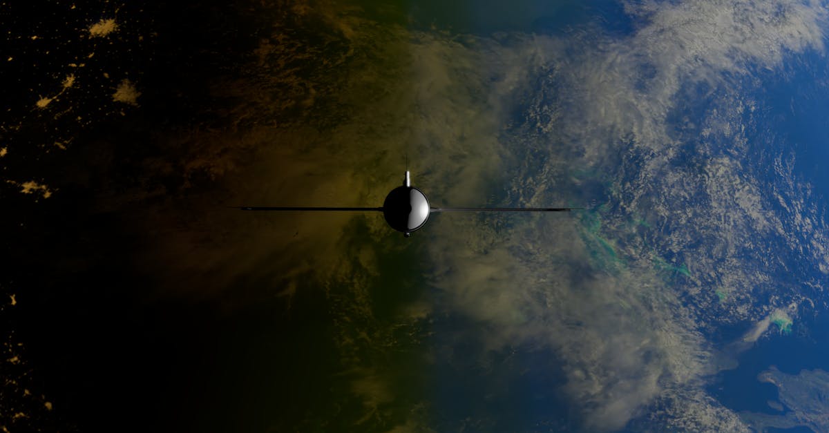
- NISAR satellite maps Mississippi Delta with L-band and S-band radar
- Data reveals subtle land deformation and vegetation structure
- Mission marks first major science product from Indo-US collaboration
The NASA-ISRO Synthetic Aperture Radar (NISAR) mission has delivered its first major scientific product — a high-resolution map of the Mississippi Delta that cuts through clouds and darkness. The data, released on Thursday, showcases the satellite's ability to monitor Earth's surface in unprecedented detail.
Launched in 2024 from India's Satish Dhawan Space Centre, NISAR carries dual-frequency radar systems developed jointly by the US and Indian space agencies. The new imagery covers roughly 150,000 square kilometres of the delta, a region prone to subsidence, flooding and coastal erosion.
How the Radar Works
NISAR uses L-band (24 cm wavelength) and S-band (12 cm) radars. The longer L-band waves penetrate dense vegetation and dry soil, while S-band provides finer detail on surface structures. Together, they can measure changes in land elevation as small as a centimetre.
Scientists at NASA's Jet Propulsion Laboratory processed the raw data using algorithms that correct for atmospheric interference. The result is a seamless mosaic that reveals not just the delta's topography but also the height and density of its marsh grasses and forests.
What the Data Shows
The map picks out channels, levees and abandoned river courses invisible to optical satellites during the region's frequent cloud cover. It also detects subtle sinking — or subsidence — in areas where groundwater extraction and sediment compaction are ongoing.
Vegetation patterns stand out sharply. Mangrove forests and cypress swamps appear as distinct radar signatures, allowing researchers to estimate biomass and monitor changes in wetland health. The data could help track how sea-level rise affects coastal ecosystems.
"This is the kind of information we need to manage flood risks and protect coastal communities," said a NASA Earth science official. The mission's Indian partner, the Indian Space Research Organisation (ISRO), confirmed that the data will be openly available to scientists worldwide.
A Shared Success
NISAR represents one of the most complex Indo-US space collaborations to date. India contributed the S-band radar and the launch vehicle, while NASA supplied the L-band radar and the satellite bus. The spacecraft orbits Earth every 12 days, covering the entire globe.
For the Mississippi Delta, that means regular updates on shifting shorelines, levee stability and marsh loss. The region loses an area of wetland roughly the size of a football field every hour, according to earlier studies.
The mission has already returned data on earthquakes in Turkey and landslides in the Himalayas. The delta map, however, is its first dedicated scientific product tailored to a specific landscape.
What Happens Next
ISRO and NASA plan to release similar high-resolution maps for other critical regions — including the Ganges-Brahmaputra delta and the Amazon basin — over the coming months. The full global coverage will be completed by late 2026.
Researchers will now cross-reference the NISAR data with ground measurements to validate its accuracy. The goal is to build a continuous, long-term record of how Earth's most dynamic landscapes are changing under climate pressure.