NISAR Satellite Set to Revolutionise Disaster Prediction Capabilities
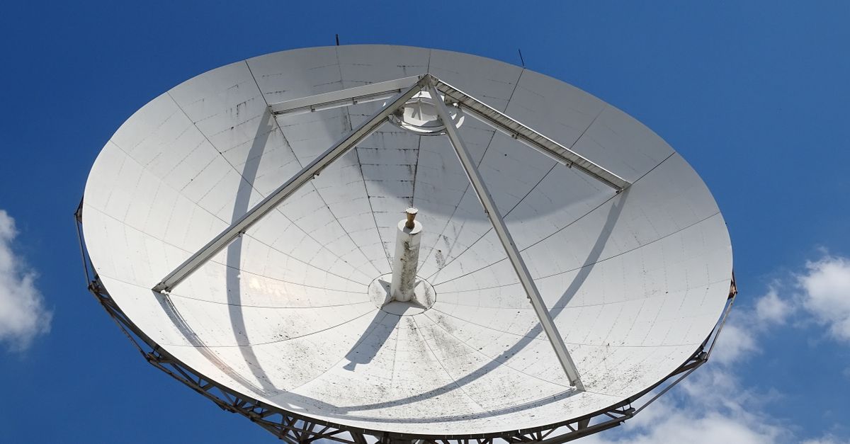
- NISAR is a joint Earth-observation mission by NASA and ISRO.
- It uses advanced radar imaging to monitor subtle ground movements.
- The satellite aims to provide early warnings for earthquakes, landslides, and volcanic eruptions.
A New Eye in the Sky
The NISAR satellite, a joint venture between NASA and the Indian Space Research Organisation (ISRO), is poised to change how scientists monitor and predict natural disasters. By using advanced radar imaging, the satellite can detect minute changes in the Earth's surface. This could give researchers the ability to issue warnings days or even weeks before a disaster strikes.
NISAR stands for NASA-ISRO Synthetic Aperture Radar. It is designed to scan the entire planet every 12 days. The satellite's twin radar systems can see through clouds and darkness, providing uninterrupted data.
How It Works
The satellite measures surface deformations as small as a few centimetres. When tectonic plates shift or a volcano swells, NISAR picks up the change. Scientists can then analyse this data to identify patterns that precede a major event.
For example, before an earthquake, the ground often bulges or tilts. NISAR's radar can map these movements with high precision. The same applies to landslides, where slopes slowly give way before a collapse.
Officials have not yet confirmed a specific timeline for operational use. But the data stream is expected to begin within months of launch.
Implications for India
India sits in a seismically active zone. The Himalayan region alone has seen devastating quakes in the past. NISAR could provide crucial lead time for evacuation in such areas.
Landslides during the monsoon season also pose a recurring threat. With NISAR's frequent scans, authorities may be able to spot unstable slopes early. This could save lives in states like Uttarakhand and Himachal Pradesh.
Global Collaboration
The mission represents one of the largest cooperative space projects between the US and India. NASA provides the L-band radar, while ISRO contributes the S-band radar and the satellite bus.
The combined data will be shared freely with scientists worldwide. This open-access model aims to accelerate research into disaster prediction. It also strengthens ties between the two space agencies for future missions.
Challenges Ahead
Not everyone is convinced that prediction will be foolproof. Critics point out that Earth systems are complex. A bulge in the ground does not always lead to a quake. False alarms could cause unnecessary panic.
Scientists acknowledge the limitations. NISAR is not a crystal ball. It provides data, not certainty. But even a few hours of warning can make a difference in densely populated regions.
The satellite is currently undergoing final tests. Launch is expected later this year from the Satish Dhawan Space Centre in Sriharikota.
Once operational, NISAR will join a fleet of Earth-observing satellites. Its unique capability lies in its frequency and resolution of scans. No other civilian satellite offers this combination.
Researchers are already training algorithms to process the incoming data. The goal is to automate alerts for specific hazard types. This could turn raw radar images into actionable warnings.
The world will be watching when NISAR starts sending back its first images. For millions living in disaster-prone areas, that data might one day mean the difference between life and death.